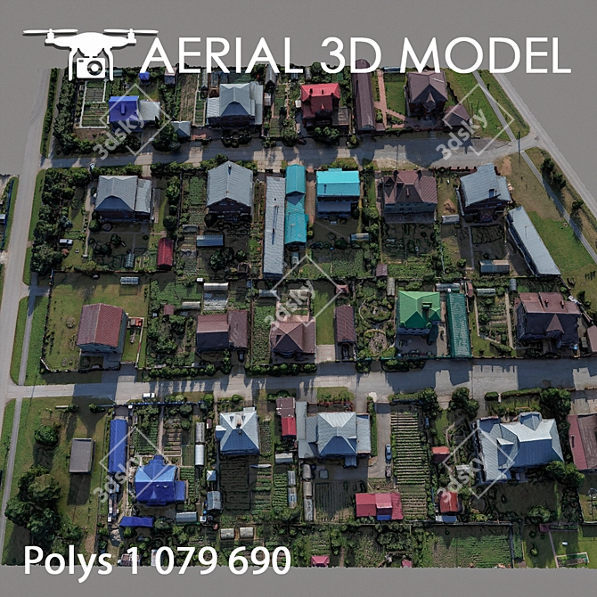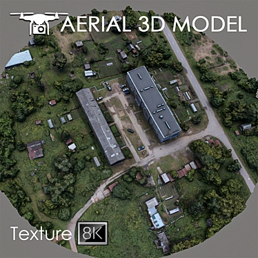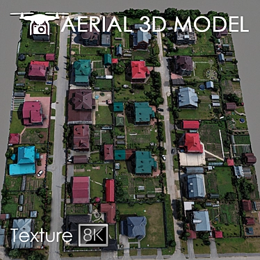
Browse and download the remarkable Aerial Land Scan 3D model, a meticulously crafted representation of residential areas, created with absolute precision and realism. With a quadcopter height of 60 m, this impressive 3D MAX model offers an in-depth view of the terrain, providing a wealth of information for architects, urban planners, and design enthusiasts alike.
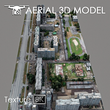
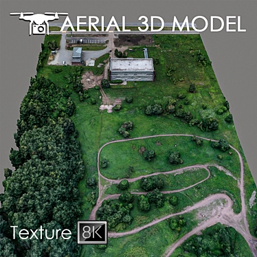
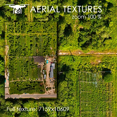
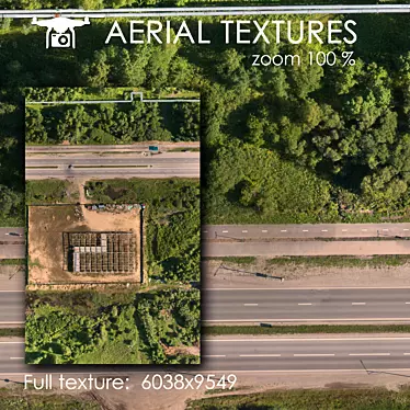
Step into the world of 3D design with our Aerial Land Scan 3D model. This highly-detailed model was painstakingly created using real photographs, capturing the essence of residential areas with extraordinary accuracy. The model features a single Edit Poli and a texture scan with a resolution of 8192 × 8192 pixels, ensuring an impeccable level of detail and visual appeal.
Take advantage of 3DS Max's powerful capabilities and enhance your visualizations with the Aerial Land Scan 3D model by 3D Sky. Ideal for master plan visualizations and background fillings, this model provides a comprehensive representation of landscapes, enabling you to showcase your architectural projects in the best possible light.
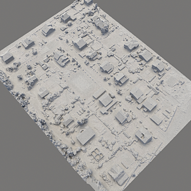
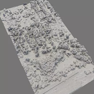
With the Slice modifier, you have the flexibility to tailor the Aerial Land Scan model to your specific project requirements. Easily cut and edit the model to focus on specific areas, ensuring that your visualizations highlight the most significant details of the residential landscape.
Discover the endless possibilities of 3D interior design with our Aerial Land Scan model. Whether you're an interior designer looking to create stunning room designs or a homeowner seeking inspiration for your home decor, this model serves as an invaluable resource for your creative endeavors.
Enhance your 3D home design projects with the Aerial Land Scan model. Bring your architectural visions to life by incorporating this detailed model into your virtual tours, presentations, and marketing materials. Download this extraordinary 3D model today and unlock the potential for unparalleled realism in your 3D room designs.