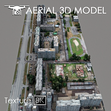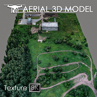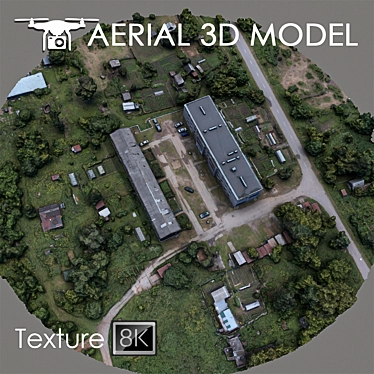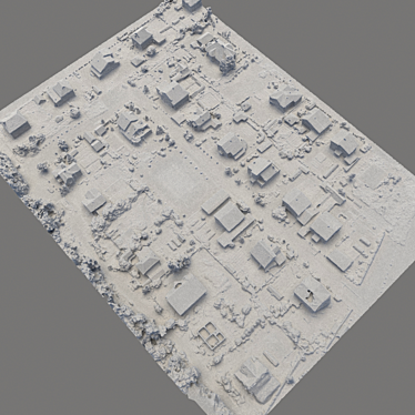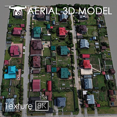
Looking for a top-notch 3D model to elevate your design projects? Look no further than our Aerial Landscape Scan. This incredible 3D model, created using advanced quadrocopter technology, provides an unparalleled level of detail and realism for your visualizations.
This stunning 3D model was created using a quadrocopter that captured a detailed 3D scan of the terrain. At an altitude of 60 m, this scan captures the landscape's intricate features and presents them with utmost accuracy. The model is meticulously designed to depict the terrain's natural contours and surfaces, giving your designs a lifelike touch.
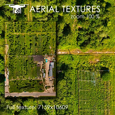
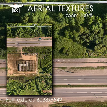
With a single Edit Poly and a high-resolution texture scan of 8192x8192, this 3ds max model is ready to take your designs to new heights. From visualizing master plans as captivating background fills to creating mesmerizing 3D interior decor, the possibilities are endless.
Unleash your creativity by effortlessly editing the model using the Slice modifier. This allows you to trim the model precisely as per your desired areas, enabling you to tailor the landscape to your exact specifications. Whether you're working on long-range plans or creating breathtaking 3D room designs, this model is the perfect choice.
Designed based on real photos, this 3D model successfully captures the intricate details and unique features of the landscape. By incorporating this model into your projects, you can craft stunning visuals that are sure to captivate your audience. Use it for 3D interior designs, compelling visualizations, 3D room designs, and various other 3D design applications.
Ready to take your designs to new heights? Unlock the power of realistic visuals by downloading the Aerial Landscape Scan 3D model today. With its intricately detailed terrain and seamless customization options, this 3D model is a must-have for designers, architects, and visual artists alike. Experience the next level of 3D home design