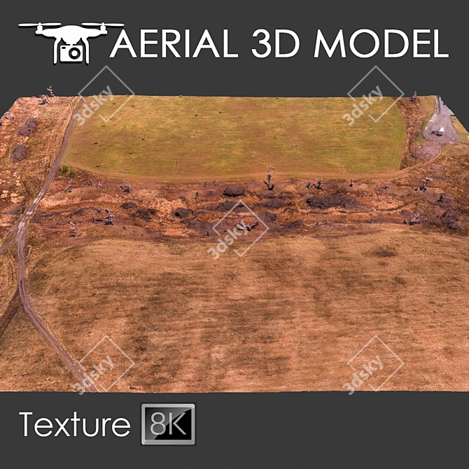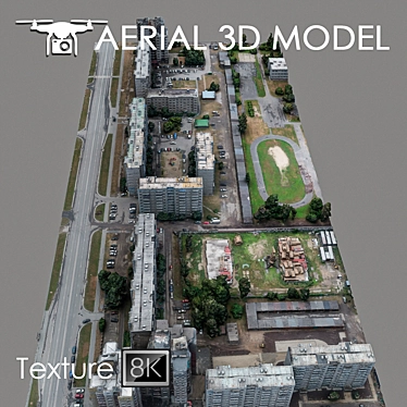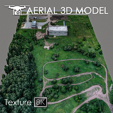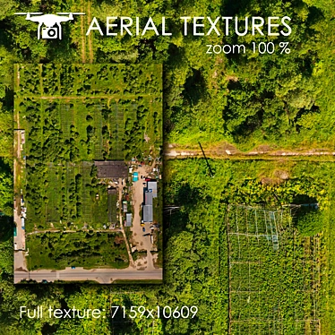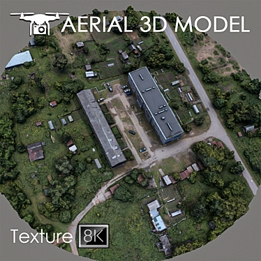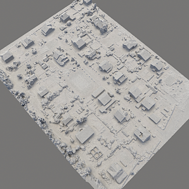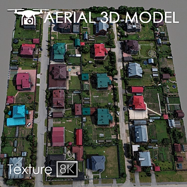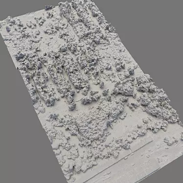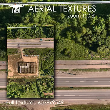
Looking for a highly detailed 3D model of a breathtaking aerial landscape? Look no further! Our Aerial Landscape Scan is a meticulously created 3D terrain model, captured using a quadrocopter at an altitude of 60 m.
Our model is designed to impress with its incredible level of detail. Created using real photos, this 3D model accurately captures the various features and intricate details of the landscape, providing an exceptionally realistic representation.
Whether you are a professional visualizer needing a background fill for your master plans or an enthusiast looking for an immersive 3D experience, our Aerial Landscape Scan is perfect for you. This 3D model is compatible with software like 3ds Max 2014, OBJ, and FBX, ensuring seamless integration into your projects.
We understand that precision matters when it comes to using a 3D model. That's why we recommend using the Slice modifier to easily customize the model according to your desired areas. This allows you to trim the model for a flawless fit in your visualizations.
Get your hands on our exceptional Aerial Landscape Scan and elevate your 3D design, interior decor, or even home design projects. With its high-resolution texture and exceptional level of detail, this 3D model is a must-have for all your long-range plans. Head over to 3dsky and download it today!