Description
**Title:**
Enhance Your 3D Design Projects with a High-Resolution Aerial Scan
**Description:**
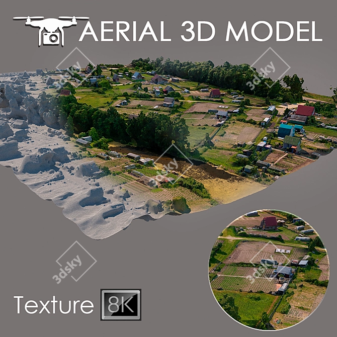
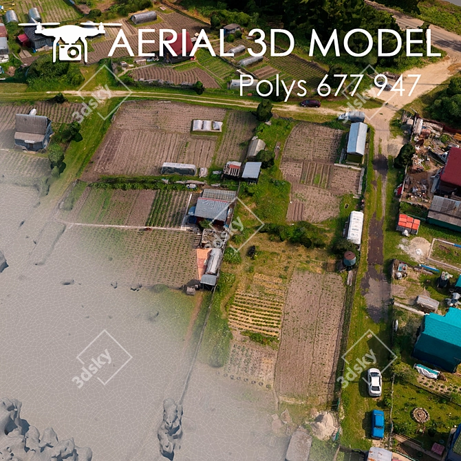
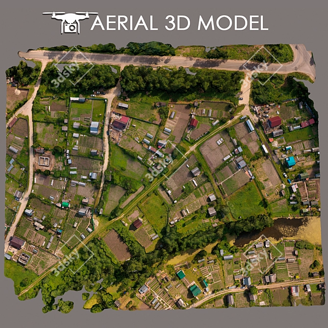
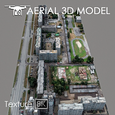
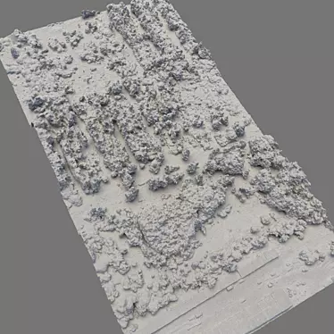
**Download** a remarkable **3D model** of the terrain with stunning accuracy and detail. This **3D MAX** model, created using aerial technology, offers a **high-resolution** and intricate representation of the landscape, perfect for various design projects.
**Highlighting intricate details:**
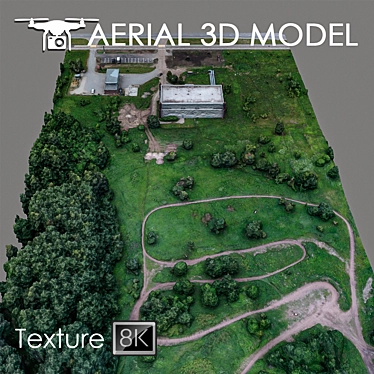
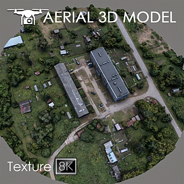
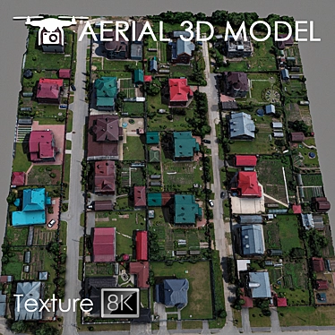
Immerse yourself in the world of **3D design** with this **detailed** model that captures the terrain from a bird's-eye view. Made using a quadrocopter at an altitude of 60 meters, the model presents a realistic depiction of the landscape's features and unique characteristics.
**Texture quality to enhance visualization:**
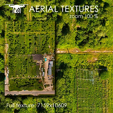
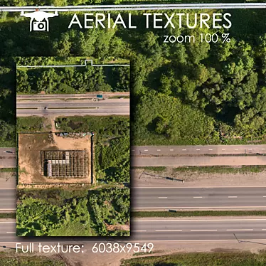
With a texture scan of 8192x8192, this model enhances the visual quality of master plans and serves as an excellent background fill for **3D interior** and **room designs**. Each element of the landscape is carefully captured from real photos, ensuring a captivating and lifelike representation.
**Easy customization and trimming:**
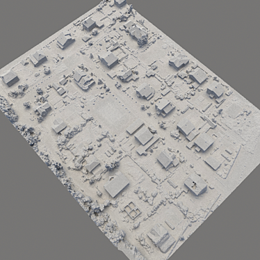
For maximum convenience and customization, this model can be easily edited using the Slice modifier. This feature allows you to trim the model to match your desired areas and tailor it precisely to your project requirements.
**Ideal for long-range plans and previews:**
Perfect for evaluating long-range plans, this model acts as a preview, providing an accurate representation of the landscape. Explore the terrain and visualize your **3D home designs** and **interior decor** projects from a unique perspective.
Unlock the potential of your **3D** endeavors with this exceptional **aerial scan** and discover a whole new level of detail and realism. Experience the power of accurate representation as you bring your design ideas to life. Download this **3D model** from **3DSKY** today and elevate your creativity to extraordinary heights.