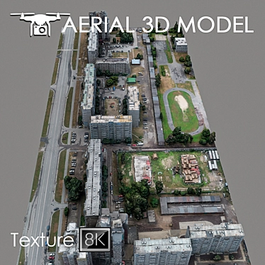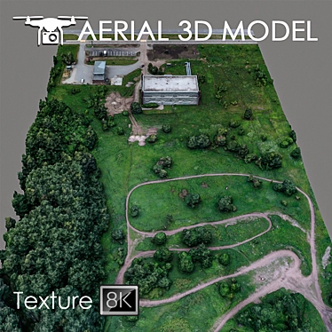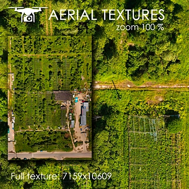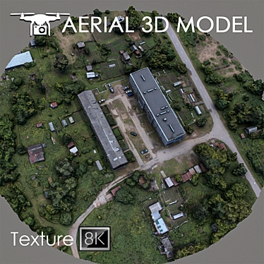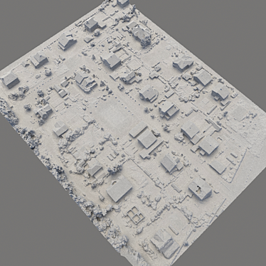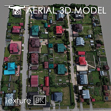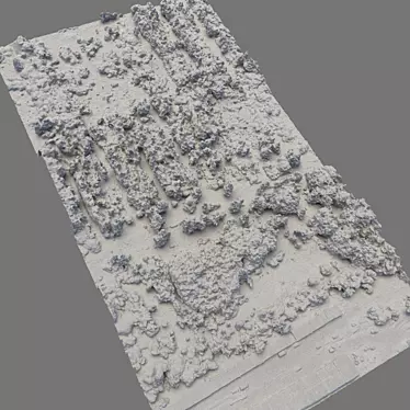
If you are looking for a high-quality 3D model, search no further. Our Aerial Topography Scan offers a detailed and immersive experience like no other. Created using the latest technology and techniques, this model provides a highly accurate representation of the terrain, captured from an altitude of 60m using a quadrocopter.
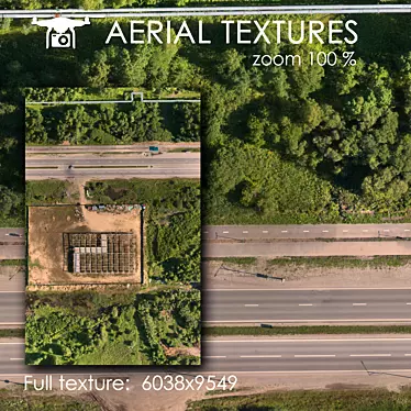
This 3D model is crafted with precision and attention to detail. It is made on the basis of real photos, ensuring that it captures the many intricate features and characteristics of the landscape. With a resolution of 8192x8192, the texture scan adds an extra level of realism to the model, making it perfect for visualizing master plans and creating stunning background fills.
The Aerial Topography Scan: Detailed 3D Model is compatible with 3ds Max 2014, OBJ, and FBX, allowing for easy integration into your design workflow. We recommend utilizing the Slice modifier to effortlessly trim the model to your desired areas, ensuring maximum flexibility and customization.
Whether you are an architect, interior designer, or 3D artist, this model provides you with the tools you need to bring your vision to life. With its intricate details and realistic representation of the landscape, it can be used for various projects, including 3D interior design, room design, and home design. Download this exceptional 3D model from our platform and elevate your designs to new heights.
Visit our website now to discover more amazing 3D models available for download. Explore the world of 3D design and add a touch of creativity to your projects.